
The Cost Bottleneck in Carbon Project Verification
In nature-based solutions, agroforestry, and biomass-related carbon interventions, measurement, reporting, and verification (MRV) has historically represented a disproportionate share of total project operating expenses. Traditional validation and verification workflows rely heavily on manual field sampling, physical audits by third-party Validation and Verification Bodies (VVBs), and manual paper-trail validation. For project developers operating across distributed geographies, these manual campaigns introduce high travel logistics expenses, long verification timelines, and significant administrative friction.
As carbon registries and compliance frameworks require higher data integrity and shorter issuance cycles, the traditional model faces operational strain. Developers are caught between two undesirable positions: deploying intensive manual ground teams that consume operational margins, or turning to uncalibrated satellite models that risk rejection or heavy discounting during verification audits. The solution lies in an integrated hybrid digital MRV (dMRV) framework that pairs Earth observation assets with targeted ground measurements.
The Operational Limits of Single-Mode Verification
To understand why a hybrid system reduces expenditure, it is necessary to examine why single-source verification workflows fail to scale efficiently.
The Expense and Rigidity of Purely Manual Audits
Manual monitoring protocols typically require field crews to establish permanent sample plots across project boundaries. Teams record individual tree diameters at breast height, tree heights, mortality rates, or physical soil core extractions. While ground measurements offer direct physical evidence, they suffer from practical limitations:
- Extrapolation Error: Project developers can realistically sample only a small percentage of a project area. Extrapolating these metrics across tens of thousands of hectares introduces statistical uncertainty that validators penalize with conservative crediting factors.
- Logistical Overhead: Mobilizing technical field personnel, maintaining chain-of-custody documentation, and securing remote sites entails significant recurring expenditure.
- Temporal Latency: Manual campaigns are often executed once every three to five years, meaning project managers detect reversals, illegal logging, or biomass mortality long after the damage has occurred.
The Vulnerabilities of Satellite-Only MRV
On the opposite end of the spectrum, purely remote-sensing platforms promise low marginal costs by monitoring carbon pools from orbit using optical, synthetic aperture radar (SAR), or spaceborne LiDAR data. While remote sensing provides wide spatial coverage and frequent revisit rates, reliance on orbital data alone presents structural hurdles:
- Canopy Saturation: Optical and short-wavelength radar signals saturate at moderate-to-high biomass densities, reducing accuracy in mature or multi-layered forest canopies.
- Subsurface and Processing Blind Spots: Satellite sensors cannot independently measure soil organic carbon down to standard registry depths, nor can they measure the conversion efficiency and fixed carbon ratio of biochar production facilities.
- Registry Skepticism: Major crediting bodies and independent auditors hesitate to approve issuances based entirely on remote algorithms without localized ground-truth calibration. This often results in prolonged audit queries, revision cycles, and higher auditor billing hours.
The Architecture of a Hybrid dMRV Engine
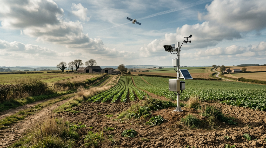
A hybrid dMRV platform integrates satellite observation and localized ground telemetry into a unified data pipeline. Rather than viewing orbital data and ground-truth evidence as competing paradigms, hybrid systems structure them as complementary layers within a continuous monitoring architecture.
1. Satellite Stratification and Macro Monitoring
Orbital assets serve as the foundational spatial and temporal baseline. Medium-to-high-resolution multispectral imagery (such as Sentinel-2 or commercial constellations) monitors canopy cover changes, Normalized Difference Vegetation Index (NDVI), and vegetation moisture conditions. SAR data (such as Sentinel-1 or L-band radar) provides all-weather monitoring and structure estimation that penetrates atmospheric cloud cover.
Instead of calculating gross carbon stocks exclusively from these images, the hybrid engine uses satellite data to stratify the project area into distinct ecological and biomass density zones. This stratification flags variance, operational boundaries, and dynamic change signals across the entire project perimeter.
2. High-Fidelity Ground Calibration
Once satellite data stratifies the landscape, ground data collection transitions from random or uniform grid sampling to directed sampling. Field personnel using mobile dMRV applications, IoT edge devices, or localized soil sensors gather data specifically in representative strata or areas exhibiting anomalous spectral variance.
This ground data collection includes timestamped, geolocated measurements, photos with cryptographic metadata, and calibrated physical samples. In biochar projects, this layer integrates kiln operational telemetry, pyrometer readings, and batch-level lab assay uploads to tie physical carbon production directly to spatial applications.
3. Machine Learning and Continuous Calibration
The core of the hybrid platform trains predictive biomass and soil carbon models on direct ground-truth points, cross-referencing them against spectral and structural signatures from satellite imagery. As new ground-truth samples are ingested, the platform refines its local allometric equations and predictive confidence intervals, systematically reducing uncertainty over time.
How Hybrid Systems Directly Reduce Verification Costs
The integration of remote sensing and ground observations generates clear operational efficiencies that lower financial outlays for project developers.
Reduced Field Days Through Stratified Sampling
Standard carbon methodologies mandate that sample sizes achieve a specific statistical precision, often a 90% confidence level with a 10% margin of error. In a uniform or poorly stratified sampling regime, achieving this threshold across heterogeneous terrain requires an extensive number of sample plots.
By using satellite data to identify vegetation zones, canopy heights, and soil zones beforehand, a hybrid dMRV platform optimizes the placement and count of physical sample plots. Fewer physical plots are necessary to achieve the statistical power required by standards like Verra, Gold Standard, or India’s Green Credit Programme. A reduction in physical plots directly translates to lower field labor expenses, reduced transport budgets, and fewer field days per verification cycle.
Shorter Auditor Review Periods and VVB Billing
A substantial portion of verification expense stems from the billable hours of third-party audit teams. When validators review projects that rely on disjointed spreadsheets, paper forms, and static GIS shapefiles, the auditing process involves extensive back-and-forth documentation requests and lengthy physical site walkthroughs.
A hybrid platform provides auditors with an auditable digital dashboard containing:
- Clear lineage showing how satellite data was acquired, cleaned, and processed.
- Direct links between satellite-flagged anomalies and on-the-ground inspection logs.
- Cryptographically verified timestamps and coordinates for every field sample.
- Automated uncertainty calculations adhering to registry guidelines.
When an auditor can independently inspect field points overlaid on temporal satellite imagery from a web interface, physical auditor field days are streamlined, desk review cycles move faster, and billable verification hours decrease.
Early Anomaly Detection Prevents Costly Reversals
In forestry and land management, small-scale disturbances such as localized illegal logging, disease outbreaks, or boundary encroachments can compromise years of carbon stock accumulation if left unchecked. Purely manual monitoring often discovers these issues long after the event, triggering formal corrective action plans, baseline adjustments, or buffer pool deductions during verification.
Hybrid dMRV platforms provide continuous orbital surveillance that triggers automated alerts when anomalous spectral deviations occur. Field teams can be deployed to the exact GPS coordinates to address the disturbance before it grows into a systematic project failure that jeopardizes the issuance schedule.
Bridging Carbon Registries, Green Credits, and Corporate Disclosures
Cost reduction is not merely about minimizing field labor; it also concerns speeding the time to market and ensuring credits achieve premium market acceptance. High-confidence data architecture provides clear advantages across compliance and voluntary mechanisms.
Aligning with Methodological Standards
Registries increasingly reward high-precision measurement regimes. For instance, in carbon accounting under standard methodologies, deductions are applied to the total issuance volume if uncertainty exceeds defined thresholds. By combining dense satellite observations with verified ground calibration, hybrid platforms minimize deduction penalties, maximizing the volume of issued credits for the same underlying land asset.
Similarly, for compliance programs like the Indian MoEFCC Green Credit Programme, demonstrating rigorous, uncompromised environmental additions requires scalable tracking that does not rely solely on administrative self-reporting. Hybrid dMRV supplies a scalable mechanism to verify ecosystem restoration activities across vast jurisdictions without linear budget growth.
Audit-Ready Inputs for IFRS S2 Disclosures
For corporate enterprises reporting Scope 3 emissions reductions, supply chain insets, or carbon removal purchases, sustainability reporting standards like IFRS S2 demand reliable, traceable evidence of asset performance. Disclosures subject to financial audit cannot rely on broad regional averages or unverified remote claims.
By operationalizing a hybrid dMRV framework, enterprise buyers receive granular asset packages where every metric is substantiated by satellite time series and synchronized ground verification. This protects corporate reporting from greenwashing accusations and reduces compliance assurance costs during annual ESG and financial reporting audits.
Building a Resilient Monitoring Strategy
Transitioning to a hybrid dMRV platform requires clear technical planning. Project developers and corporate land managers should evaluate monitoring tools on three operational criteria:
- Interoperability: The platform must integrate satellite data streams, mobile ground-collection applications, and analytical processing engines without creating data silos.
- Methodological Flexibility: The software must accommodate diverse registries, whether validating an ARR (Afforestation, Reforestation, and Revegetation) project, a biochar soil application initiative, or a public green credit scheme.
- Data Governance: The system must preserve raw, unedited ground measurements and satellite image identifiers to provide a tamper-evident audit trail for third-party verifiers.
By shifting from fragmented, manual inspection regimes to a synchronized hybrid dMRV architecture, developers can reduce operating overhead, accelerate the issuance of high-integrity carbon credits, and establish robust, long-term confidence with auditors and enterprise buyers alike.
To learn how ForestTwin can help you configure an integrated hybrid dMRV workflow and optimize your project verification costs, contact our technical advisory team.